
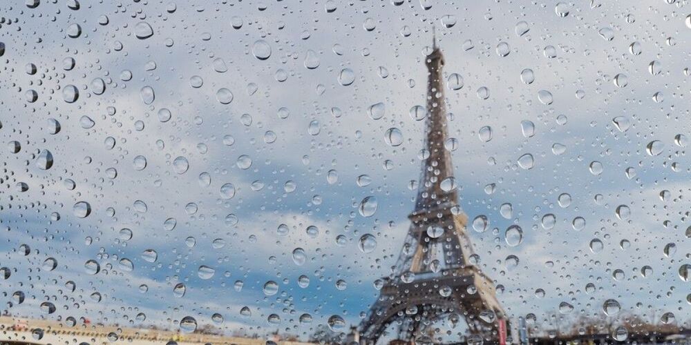
France braces for autumn shift as heatwave ends and rain sweeps in
France faces a dramatic shift from summer to autumn conditions this week, as an unusual September heatwave gives way to rain, cooler temperatures and strong winds more typical of the season.
The transition marks the end of what has been France's hottest summer in history. Since late May, the country has experienced multiple severe heatwaves, with temperatures reaching 44.3°C in Pissos in June and 42.1°C in Bordeaux. The extreme heat has claimed approximately 7,300 lives across the nation.
By Thursday, national average temperatures will drop to around 17°C, approximately 1.5°C below typical September levels. Some regions will see temperatures plunge by 7°C between Monday and the end of the week.
Orange alerts remain in southern departments
Six southern departments remain under orange heatwave alert at the start of the week: Aude, Hérault, Gard, Vaucluse, Drôme and Ardèche. These alerts, which represent dangerous conditions under France's four-tier warning system implemented in 2004, are only the second occurrence of such high-level September warnings, following a similar event in September 2023.
The orange alert level triggers departmental heatwave plans, mobilizing additional health and social care services, opening shelters for vulnerable residents, and initiating welfare checks for individuals on heatwave registers.
Temperatures in affected areas are forecast to exceed 30°C on Monday, climbing toward 35°C in the Rhône Valley, with potential peaks of 39°C. The valley, which experiences a transitional climate bridging continental conditions in the north and Mediterranean warmth in the south, remains the hottest zone. These alerts are scheduled to lift Tuesday morning around 06:00.
Across the southern regions, highs of 30°C are expected with abundant sunshine along the Mediterranean and in the south-west. Northern areas will see more moderate temperatures of 24°C to 27°C under cloudier skies.
Rain and temperature drop arrive Tuesday
A weather disturbance moving in from the United Kingdom will bring significant changes on Tuesday. Clouds will sweep across the English Channel early in the morning, rapidly advancing south and east throughout the day.
Eastern regions can expect rain by afternoon, with precipitation reaching Bordeaux and the Mediterranean coast by evening. Storm activity is possible, with the highest probability around Lyon and the Rhône Valley, where cooler air masses will collide with humid conditions.
Temperatures will drop sharply. Northern areas under persistent rain will see highs around 20°C, while coastal zones may remain at 18°C. Western coastal areas will reach 21°C, and the south-west around 25°C—noticeably cooler than recent days. Only the stretch from Toulouse to Nice will maintain warmer conditions of 28°C to 30°C, though still below heatwave levels.
Strong Mistral and Tramontane winds are forecast for Tuesday. These regional wind systems, which funnel down the Rhône Valley and through the Aude valley respectively, can reach gusts of 80 to 100 km/h. The winds strip moisture from vegetation and significantly increase wildfire risk by spreading flames rapidly—a particular concern as France's wildfire season typically extends through September, with the southern regions of Provence, Gard, Languedoc and Corsica remaining high-risk zones.
Midweek conditions stabilize
Wednesday will see rain persist across the Pyrénées and Alps in early morning before dissipating later in the day. Mistral and Tramontane winds will continue at speeds up to 90 km/h, maintaining elevated fire risk despite cooler conditions.
Weather will be calm and sunny elsewhere, though cloudier in the south-east. Temperatures will settle at 18°C to 21°C across northern, central and south-western regions. Mediterranean areas will see highs around 25°C, reaching 27°C in Nice. Corsica may experience winds approaching 100 km/h, which could prompt additional weather warnings.
By Thursday, similar temperatures will prevail, though mornings and evenings will feel considerably cooler with overnight lows of 8°C to 13°C across much of the centre and north—well below typical September ranges of 10°C to 16°C. The south-east will maintain sunshine and above-average temperatures. Northern areas can expect cloudy but dry conditions.
Weekend outlook
Friday brings another round of rain from the English Channel, with persistent drizzle across northern departments. Unlike Tuesday's widespread precipitation, this system is unlikely to push south of the Loire, remaining concentrated over Normandy, Brittany and the Paris region. Southern areas will continue experiencing sunny if cloudy conditions.
Temperatures will remain largely stable, with a slight rise possible in northern regions despite the rain. Early forecasts suggest the weekend will see calm, sunny conditions with a risk of showers along the English Channel. Temperatures will gradually increase but remain far below last weekend's heatwave peaks.